GeoGIS with strong in-house software, hardware and GIS research capabilities. Provide customized hardware, software and GIS solution according to Client's requirement. And Provide responsive technical support by concordia after-sales service
Our Implementations
Ground Geospatial Services
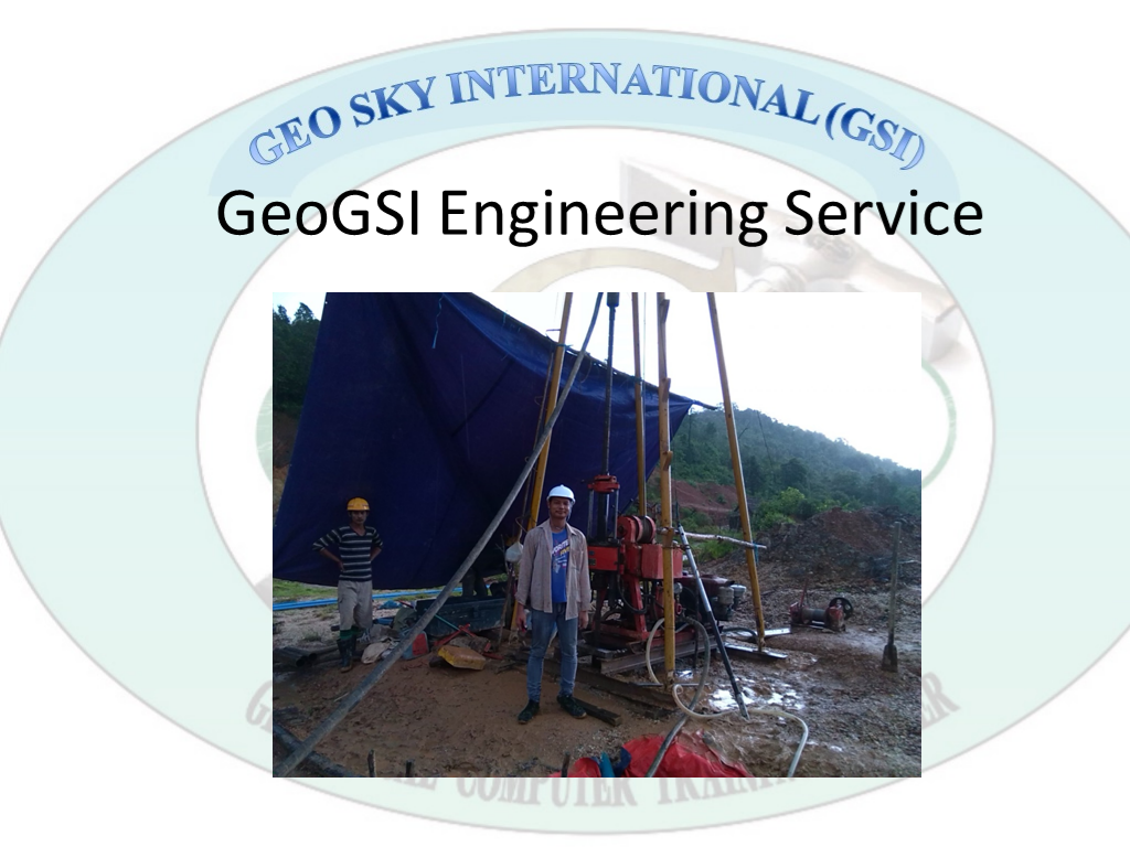
Advance Geospatial Solutions and Services Provide GIS Solution and Service Remote Sensing Applications and Service Ground Survey , Aerial Survey and Mapping EIA, SIA, HIA Report and Team Service Geotechnical Investigation
Provide Flexible / Customized Solution
Support project-based business. We are particularly successful at working with our customers to understand each specific project and provide flexible and customized hardware solutions to help them solving problems and improve efficiency
Our Services
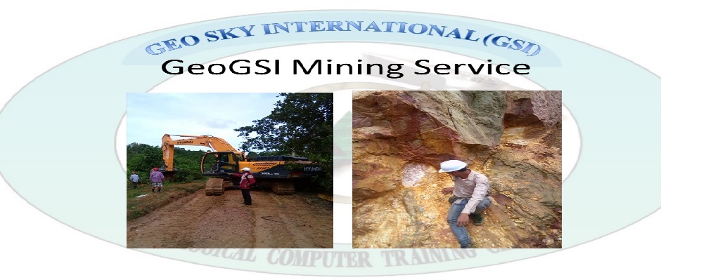
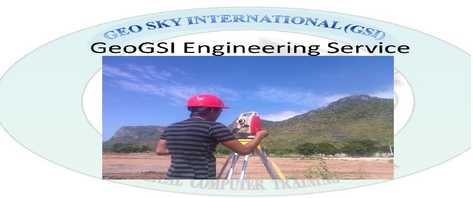
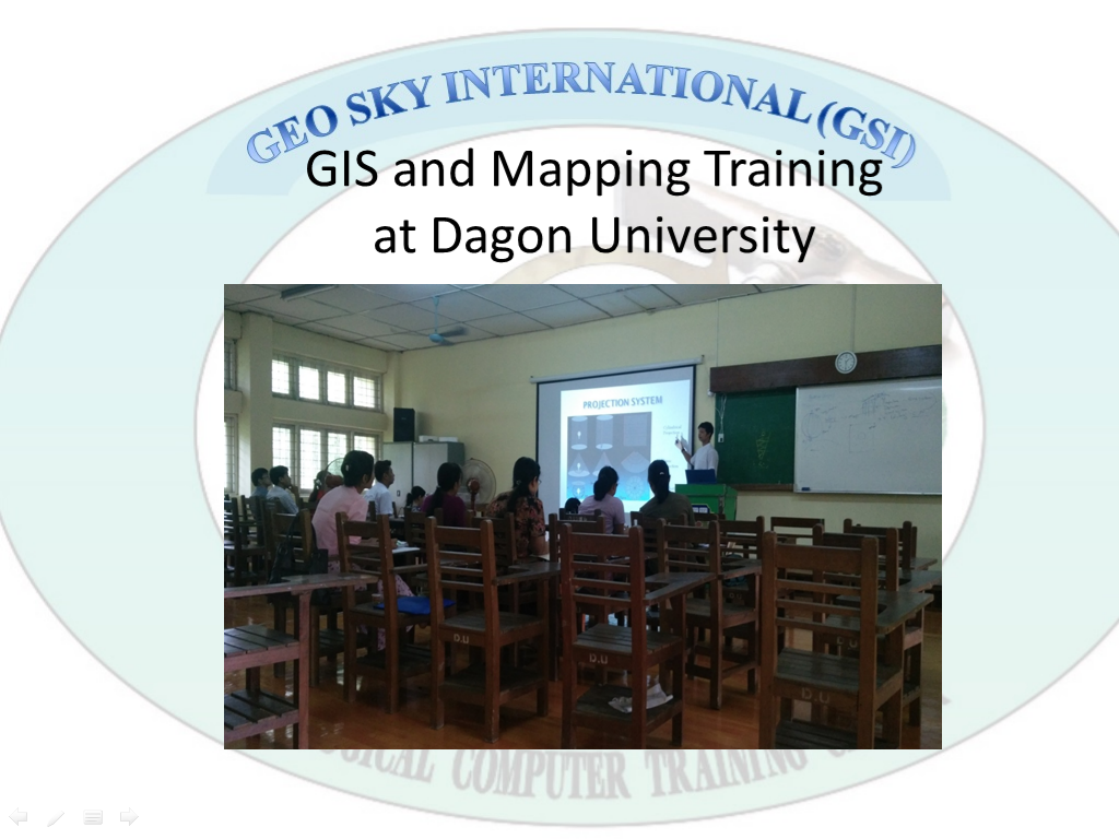
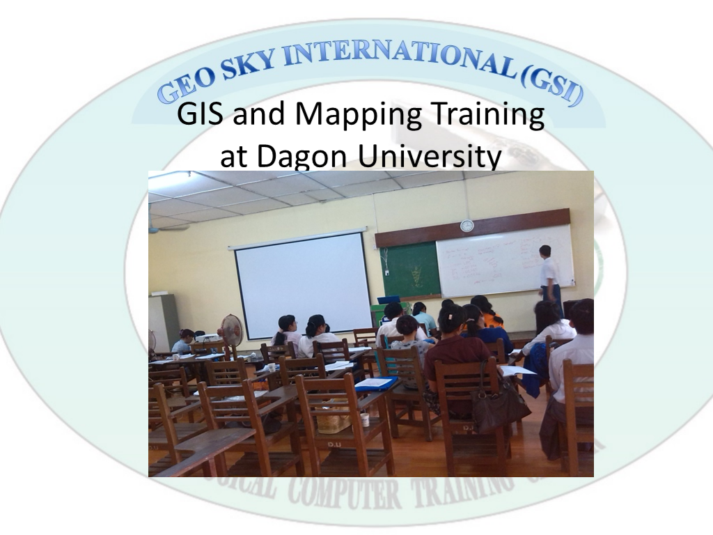
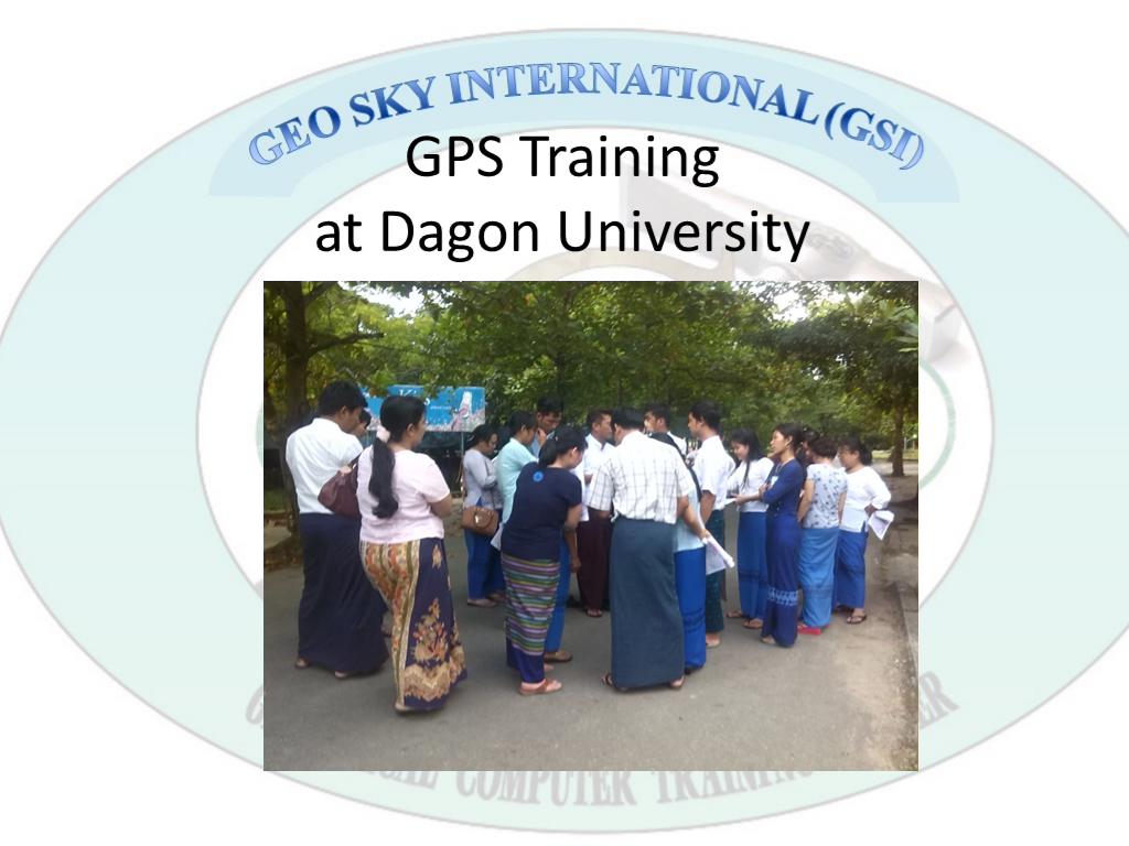
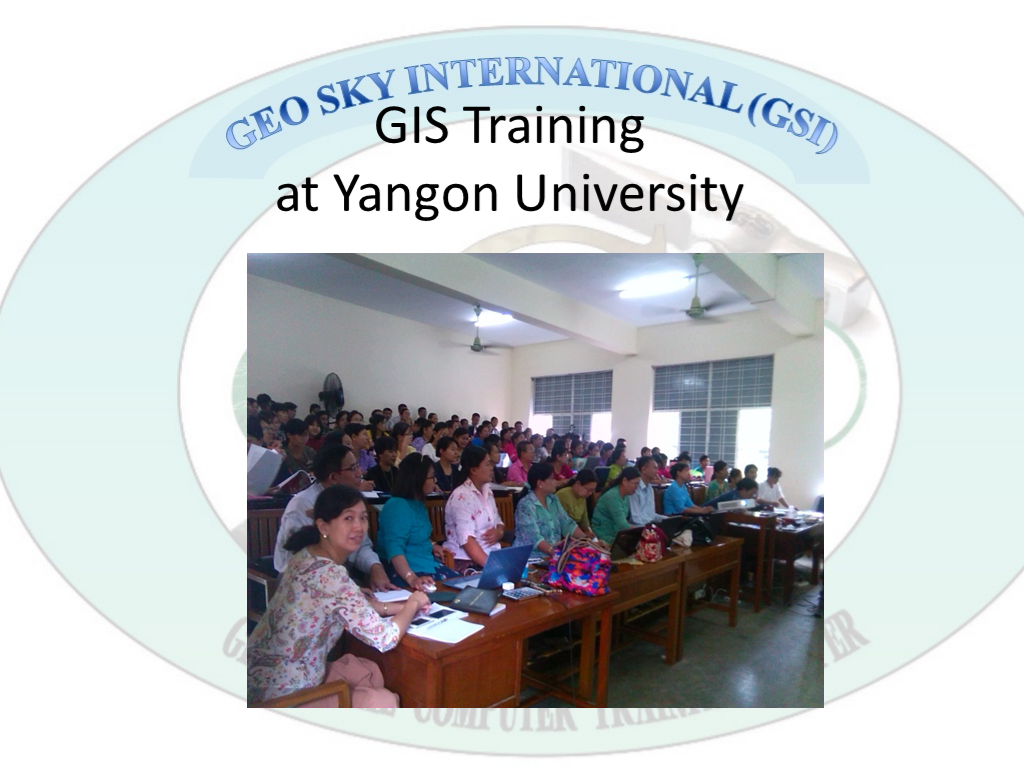
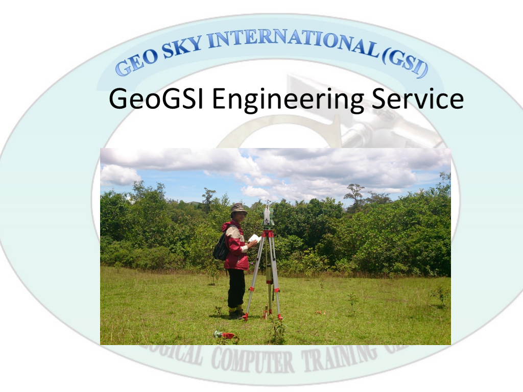
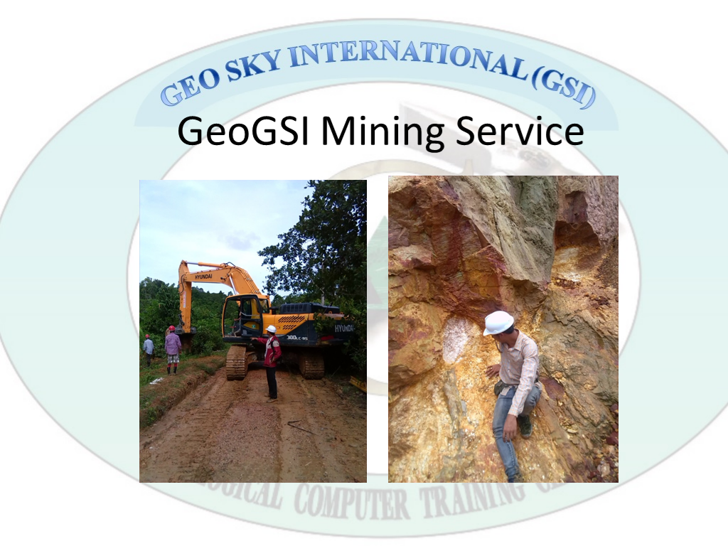
Geospatial Detail Mapping for the Urban Area and Settlement Area. Raster Data Analysis & Vector Data Analysis. Geological Report writing and Geological Mapping. Mineral Exploration, Mineral Prospecting, and Mine Design Drawing. GIS Project base service, and Consulted. GPS to GIS Mapping. Satellite Image Drawing for the project Master Plan Map with GIS and CAD. Topographic Survey Aerial Survey / Drone Survey Land-use Survey Land Cover Classification Environmental
About us
NAME - U Hlaing Kyi (Managing Director) EDUCATION QULIFICATION - ------- WORK EXPERIENCE - Trading and Marketing M.D
NAME - MG ZIN WAI NAING TUN (Technical Director)
EDUCATION QULIFICATION - B.Sc. (Geology) Graduated (2009) Dagon University. Diploma in GIS & RS (2014 – 2015) Yangon University.
WORK EXPERIENCE -Mining & Survey Geologist. Computer Mapping Trainer (GeoGSI)GIS Technician
Energetic and Innovative
We are services and solutions professionals with various backgrounds; Geologists GIS and RS Professionals Surveyors Physical Environmentalists Environmental Eco System Development Specialists Project Managers
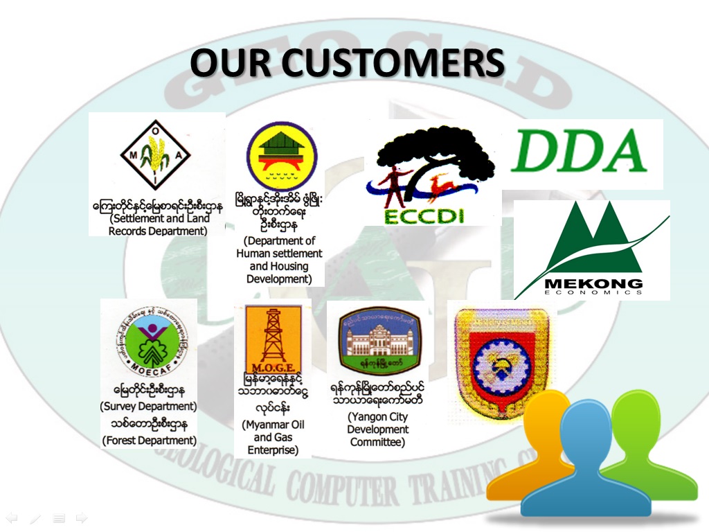
Customers